How Do You View a Patta Chitta FMB Sketch Online?
Start with the official land-records homepage and the FMB service for Rural/Natham land. Keep the district, taluk, village, survey number and subdivision from your documents ready. Enter the particulars requested by the live form, complete its verification and confirm the returned parcel before downloading.
- Open Tamil Nadu land-records e-Services and select the Rural/Natham FMB service.
- Choose the revenue location. Copy the survey and subdivision particulars accurately, including letters.
- Follow the verification shown, submit, then match the sheet heading with your deed or Patta.
- For urban parcels, select TSLR Sketch; use the town-survey details, not village identifiers.
The official menu lists rural FMB and urban TSLR Sketch separately.
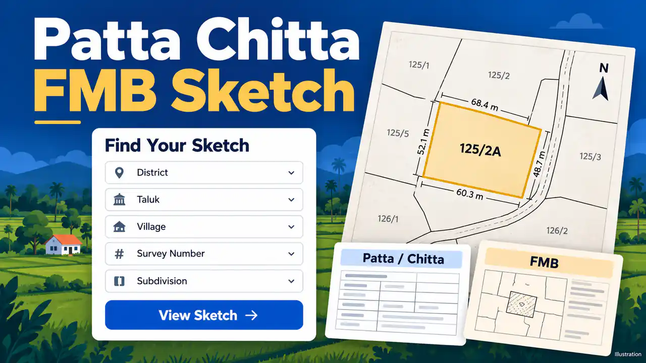
What Do Patta Chitta and FMB Show?
FMB means Field Measurement Book. Its sketch depicts surveyed geometry and measurements. Patta/Chitta supplies revenue particulars rather than the same drawing. Compare both using the full parcel identifiers. A holder's entry, mapped shape and registered transaction answer different questions, so also examine the underlying deed when reviewing a purchase.
| Record | What to compare |
|---|---|
| Patta / Chitta | Recorded holder, extent and classification, including wet/dry entries where shown. |
| FMB sketch | Survey geometry, measurements and subdivisions. |
| Encumbrance Certificate (EC) | Registered dealings within the searched period. |
Use our Patta Chitta guide and TNREGINET EC guide for those searches. A revenue entry alone does not confer title, as the Supreme Court explains.
A government mapping brief identifies these survey particulars and underlying records.
How Should You Read the Sketch and Check Boundaries?
Read the location and survey heading first, then identify the subdivision, adjoining numbers and measurement labels. Use the scale, orientation and units actually printed on the sheet. Compare its particulars with your deed and Patta; have a surveyor resolve a mismatch between the drawing and ground conditions.
- Subdivision: 125/2A is an example identifier; 125/2B refers to a different subdivision.
- Measurements: boundary lengths and total extent measure different things; read the stated units.
- Mapped features: a drawn road, channel or neighbouring field needs checking against the relevant records.
- Line symbols: follow the sheet's legend; ask the survey office to explain F-line or G-line markings.
For farm planning, compare irrigation routes and field limits. A depicted road alone does not establish a right of access.
How Do You Download or Print the FMB PDF?
The steps match those in our Patta Chitta download guide.
When the correct sheet loads, use the offered download or print control. If browser printing is available, choose Save as PDF and preview the complete sheet. Keep the survey heading, measurements and verification details visible. A screenshot can lose small labels, and saving cannot improve the source's resolution.
- Open the saved file and check that no boundary or label was cropped.
- Retain the original file and retrieval date for later comparison.
Keep Tamil labels as issued. The portal cautions against automatic translation because it can change names in the records.
Is the FMB Download Free, and When Is Certification Needed?
The state portal allows FMB copies to be downloaded without charge. That does not establish the fee or acceptance of a separately requested certified copy, boundary survey or map purchase. Tell the receiving office your purpose, then confirm the required document and applicable charge before applying.
Read the portal's free-download notice. For an unavailable or authenticated copy, ask the Taluk survey office. The Commissionerate of Survey and Settlement, Government of Tamil Nadu provides official service and contact links.
What Should You Do If the Sketch Is Missing or Incorrect?
First recheck the revenue village, subdivision and rural or urban service. If the sheet remains missing, take the deed and existing revenue records to the Taluk survey office. For conflicting measurements or outdated subdivisions, request the applicable record correction or field survey instead of editing the downloaded drawing.
| Problem | Next step |
|---|---|
| No matching sheet | Check village, subdivision and record type; ask the Taluk survey office if still missing. |
| Old subdivision or area mismatch | Compare deed and revenue records; request the applicable correction or survey procedure. |
| Portal or verification failure | Reopen from the official homepage and retry later; keep the search particulars. |
For an old-to-new town-survey number, ask about a correlation record; our TSLR guide explains that route.
Frequently Asked Questions
Can you locate a sketch using just a street address?
A street address usually needs to be matched to revenue survey particulars first. Use a deed or earlier Patta to identify the village, survey and subdivision. If those details are unclear, ask the revenue or survey office to identify the parcel before selecting a sketch.
Does downloading the sketch change the Patta entry?
Downloading preserves the available drawing; it does not submit a transfer or correction application. Check an existing Patta application through the official status service and keep its acknowledgement. For a wrong holder, extent or subdivision, follow the relevant revenue process with the supporting deed and records.
Is an FMB sheet the same as a village map?
An FMB sheet concerns a surveyed field or its subdivisions, while a village map gives wider cadastral context. Use the wider map to understand surrounding parcels and mapped features. The Commissionerate of Survey and Settlement provides a maps service; confirm the sheet, coverage and charge before ordering.
Will saving an FMB PDF make it a certified document?
Saving a file does not add an official signature, certification or approval. Preserve any verification details already present on the issued record. For a bank, court or building application, ask which version is accepted and obtain the required authenticated copy through the appropriate government service.
Is the FMB sketch drawn to scale?
An FMB sketch is a measured field drawing and is usually prepared to a stated scale, but a printout or screenshot may be resized. Use the dimensions and survey numbers written on the sheet, and do not measure boundaries on a screen. For a boundary dispute, ask the survey office for a field measurement.
Why does my survey number have no FMB sketch?
Coverage depends on the village and on whether the field has been surveyed or subdivided. Recheck the village, survey and subdivision number, and try the town-survey sketch if the land is in an urban area. If the sketch is still missing, ask the taluk survey office whether one is available for your parcel.
Track an existing transfer using the Patta application-status guide. For a wider sheet, use the department's village-map service.